
Property Boundary Resolution
Surveying property boundaries is the process of accurately determining and mapping the legal edges of a parcel of land. This involves identifying, measuring, and marking the boundaries based on legal documents (such as titles and survey plans), historical survey data, and physical evidence on the ground.
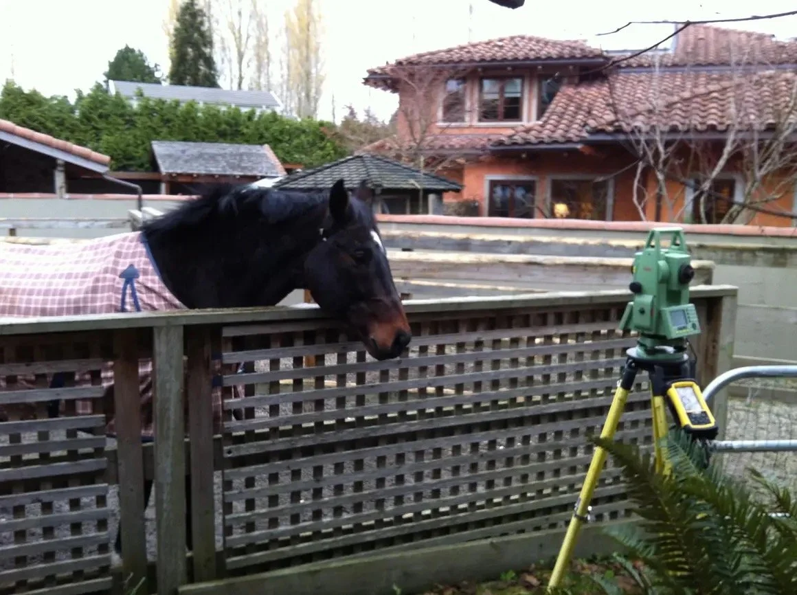
Some examples of applications of property boundary resolution include fence line surveys, posting plans, and determining encroachments.